Mens


Womens


Giftware


Horse & Farm


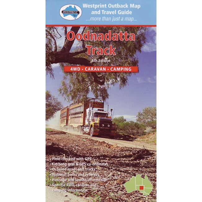


Westprint Outback Maps Oodnadatta Track Map & Travel Guide
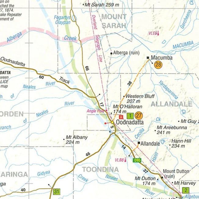
This map covers the Oodnadatta Track from Lyndhurst to Oodnadatta via Marree, Lake Eyre, William Creek and Algebuckina. The Oodnadatta Track closely follows a major Aboriginal trade route, the Overland Telegraph Line and the Old Ghan Line. Add to this unique mound springs, the largest lake in Australia and the biggest cattle station in the world and this becomes one of the most important outback heritage areas in Australia. If planning to access Lake Eyre National Park via Halligans Bay Track (Williams Creek) or Level Post Bay (Muloorina Stn) you will need a permit, either a day (24hr) visitor permit or for longer stays the Desert Parks Pass.
Whilst one side of the map features the map with GPS locations the other details information on each area, which makes it very informative and useful for people wanting to travel in this area.