Mens


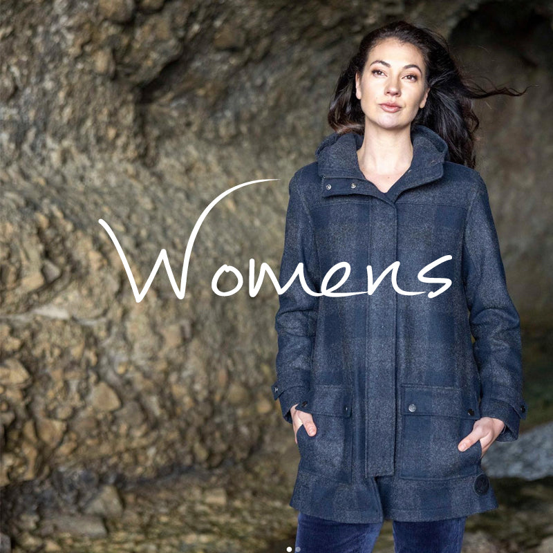
Womens

Giftware


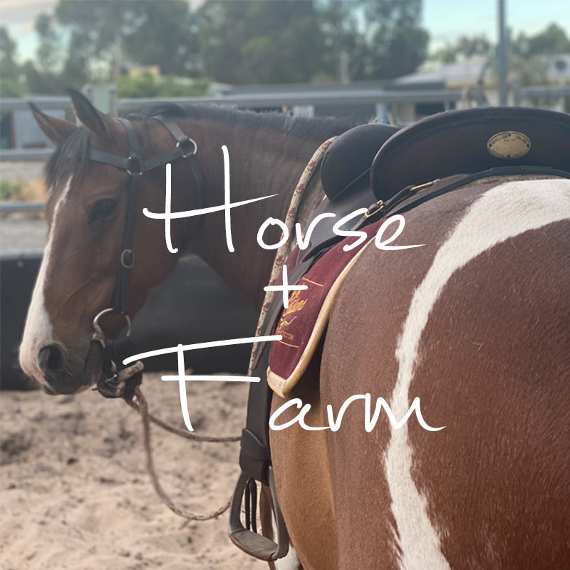
Horse & Farm


Design Interaction The Grampians Guide
$22.00
The Grampians National park, located in Western Victoria, is comprised of five main ranges: The Mt Difficult Range, Victoria Range, Serra Range, Wonderland Range and Mt William Range. It is a vast area offering the 4 wheel driver a maze of roads and tracks that criss-cross the mountains and valleys taking in waterfalls, creeks, mountain climbs, camping locations and scenic lookouts. Most of the tracks are easy driving amongst the fresh smells of pristine wilderness and variety of wildlife.
It is also a haven for tourists, often encountered in unexpected areas, but for the most part, the tracks are yours to roam.
Bordered by the townships of Stawell, Great Western, Ararat, Horsham, Dunkeld, Pomonal, Dadswell Bridge, Hamilton and Moyston you are never too far from civilisation (or us here at Lattanzios!). Halls Gap lies at the heart of the Grampias and is a mecca for travellers from all directions. Mt William is the highest point in the Grampians with an elevation of 1167m and is one of the many lookouts offering excellent panoramic views.
This track guide from Design Interaction provides a complete overview of off-road tracks in the Grampians region to help plan your trip. Features include:
- enlarged sections of track
- track notes
- GPS co-ordinates
- distances to and from your origin
- photographic references
- specific landmarks
- fuel-food-water
- camping & accomodation
- contact details
- points of reference